No matter what neighborhood you live in, no matter what area, if there is a violent crime, if there is a major incident threatening our community members, we have this capability to be able to respond quickly, deploy these types of assets, and help enhance the safety in that area.
Drone as First Responder
When lives are on the line, get Skydio in the air
Bring a new level of safety to your officers and the community with a Skydio Drone as First Responder (DFR) program.
Know more. Risk less.
Get real-time frontline visibility — anytime, anywhere, with DFR. Imagine if every patrol car had a smart drone in the trunk. Every city had drones docked in strategic locations. And every command center had operators ready to fly drones remotely2 — an advantage only offered by Skydio DFR Command.
With a Skydio Drone as First Responder (DFR) program, you don't have to imagine. It’s here now.
Get there fast. Get there first.
With a DFR program, drones can deploy from vehicles or roof-top docks and reach any scene at speeds up to 45mph — empowering the frontlines with a clear picture of what’s happening on the ground.
You protect us. DFR protects you.
By getting to the scene ahead of first responders, drones act as their eyes and ears — giving them real-time situational awareness for better tactical decisions. Drones can also be piloted by a remote operator using DFR Command, allowing those on scene to focus on what’s happening in front of them.

Trust, through safety and transparency
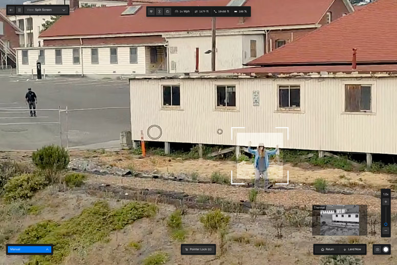
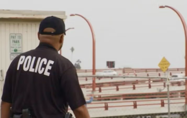
Public safety is built on trust between the community and those that are sworn to keep it safe. Skydio drone programs are designed to provide officers with the visibility needed to deescalate situations and the transparency to align with your community’s expectations with a transparency dashboard available in DFR Command.
Ready to fly anywhere, anytime
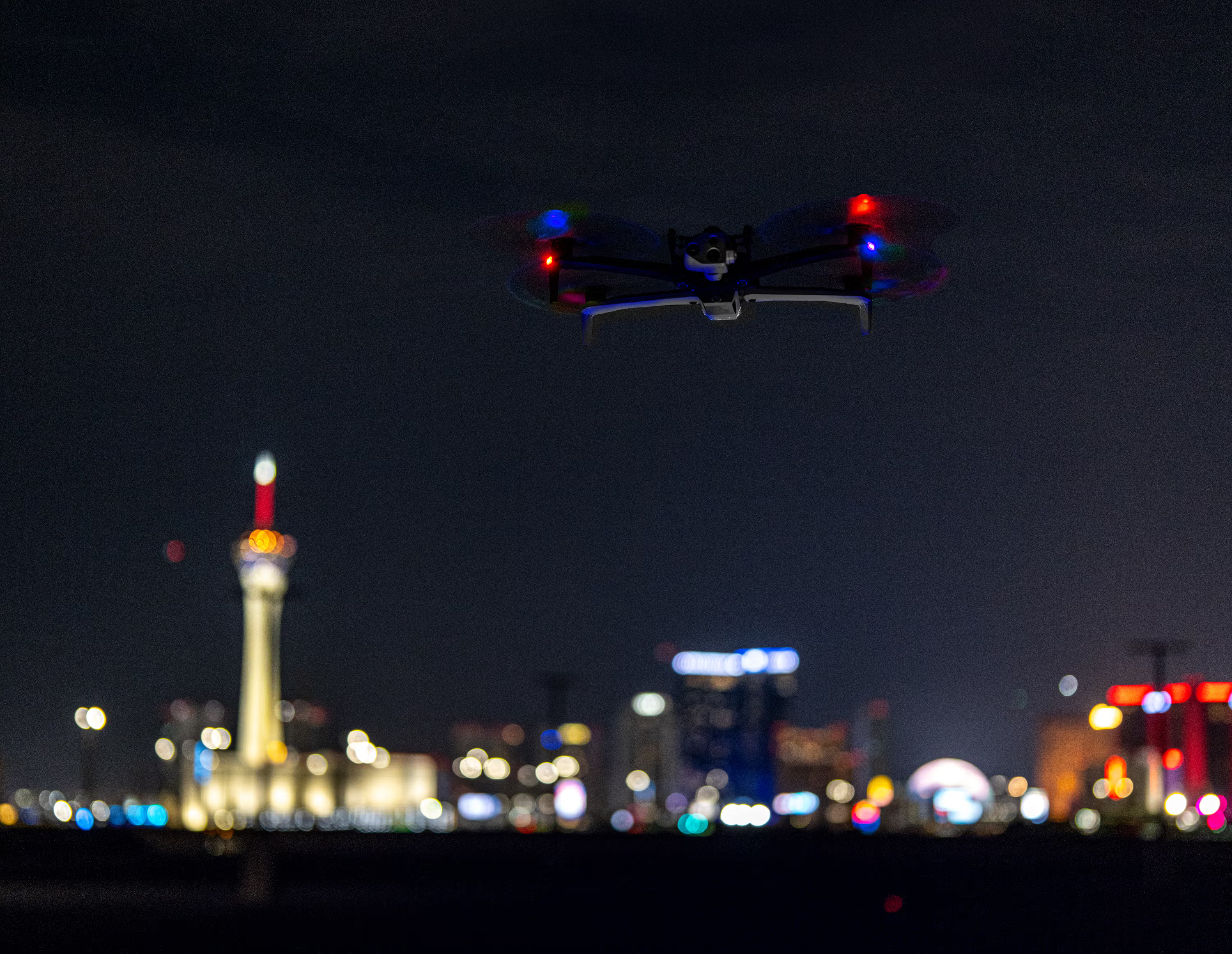
Ready to fly day or night. In rain or shine. And when equipped with Skydio’s NightSense technology, the X10 will be able to fly autonomously and see in zero light environments. Which means Skydio DFR can help fight crime and save lives 24/7.
More than 650 Public Safety agencies trust Skydio to keep their officers and communities safe
Do more with DFR.
Respond to incidents faster.
Increase solve rates.
Reduce shooting and use of force.
Improve call prioritization.
Reduce crime rates.
Fast results and a plan for scale
Not just a drone.
A complete drone program.
Public safety experts
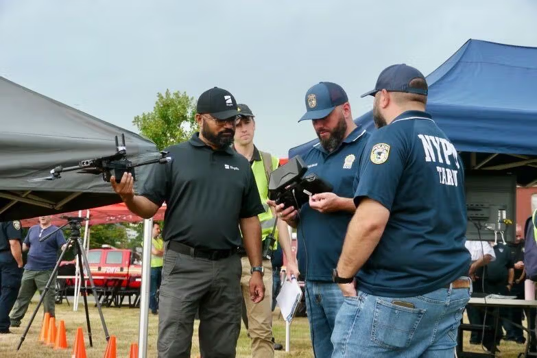
Tap into the expertise of law enforcement veterans
Partner with a team who knows what you’re up against every day. Our team members have worn the badge, and have years of experience on the frontlines with the NYPD, Las Vegas Metropolitan PD, and Illinois State Police. You’ll also work closely with trailblazing agencies, first to build their own DFR programs.
DFR program support
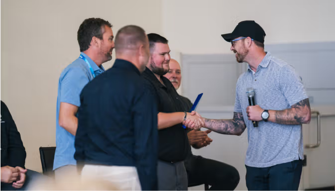
Help securing grants for your drone program
Federal and State grants can go a long way in making DFR a viable long-term solution for your agency. Our Success Services team can help you with grant writing to qualify for the grants that are available to you. We can even help you learn how to best position your agency to help you secure the funding you need.
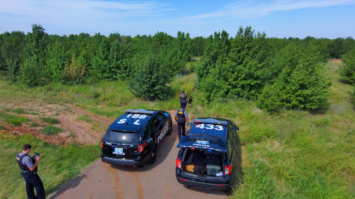
Experience getting waivers to fly beyond visual line of sight (BVLOS)
We know FAA regulatory hurdles seem daunting. But our Regulatory Services team also knows just what it takes to implement DFR from a regulatory standpoint, and can streamline getting you through the waivers process.
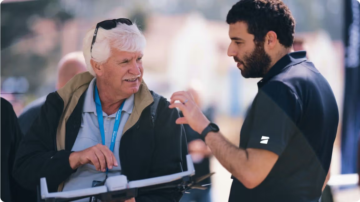
Specialized training to match your needs
When seconds matter, it’s critical to fly with confidence, on patrol or remotely — day or night. Our training is designed to instill that confidence. We offer both online and live training as part of our Success Services. And, we have a partner who delivers Part 107 certification training.
Technology ecosystem
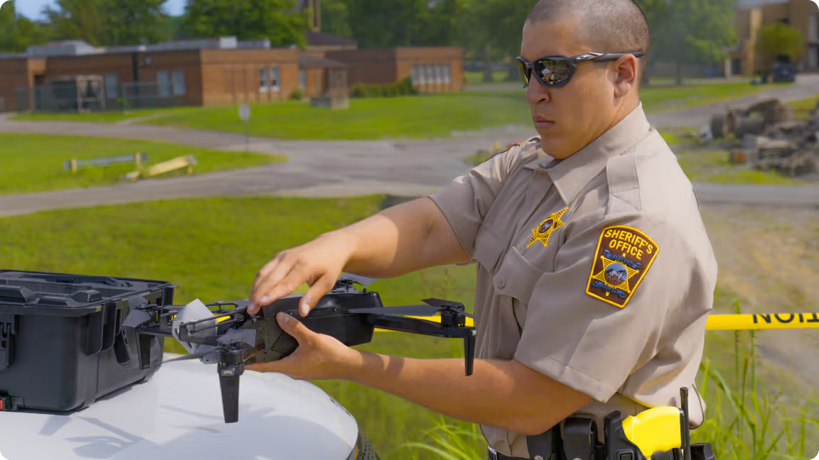
One seamless integrated system
Skydio offers a complete system — hardware (drone and dock), software and 3rd-party integrations all work together. It starts with Skydio X10, with a high resolution camera to ensure evidentiary value of your video, a telephoto zoom that can show what’s in a suspect’s hand, and radiometric thermal imaging to track suspects or find missing persons hidden from view or in complete darkness.

Fly from anywhere with Skydio Dock1
Deploy drones from strategically located Skydio Docks and get on the scene fast. Using our DFR Command software enables you to remotely operate X10 from a browser, while live streaming to all responding officers and command staff as needed. With ReadyLink, visible on any phone or computer, real-time situational awareness is now just a click away. Integrate seamlessly with the systems that matters, including CAD, RTCC, evidence systems and more.
Axon Air, Axon Evidence, and Axon Respond – all integrated with Skydio
Skydio law enforcement drones are pre-integrated with Axon applications. Just enter your API key in your Skydio account to connect and flow data into Axon Air, Axon Respond, Axon Evidence, and Fusus by Axon. Learn more about how Skydio and Axon are integrated.

Secure solution, fully supported in the USA
Skydio proudly designs, assembles, and supports its products right here in the USA.
THIS PRODUCT OR SERVICE HAS NOT BEEN APPROVED OR ENDORSED BY ANY GOVERNMENTAL AGENCY, AND THIS OFFER IS NOT BEING MADE BY AN AGENCY OF THE GOVERNMENT.
Let us help you build a successful DFR program
Learn more about building a DFR program with Skydio
1 Always fly X10 in compliance with applicable laws and according to the Skydio Safety and Usage Guidelines
2 Remote piloting and continuous live-stream are dependent on cellar network connectivity. BVLOS permit required for remote flight.


