

Surveying and mapping
Precision on another level
Skydio drones let you complete complex mapping and surveying missions in any environment with the accuracy of RTK/PPK technology.
Mapping and surveying with Skydio drones streamlines precise data capture tasks with automation-powered efficiencies — unlocking significant cost-savings and scaling advantages at every step.
Make every step of your workflow, work better


Unlock efficiency powered by automation


AI-powered Skydio drones simplify any mission with autonomous data capture and 360° obstacle avoidance. Since anyone can fly them, you get more done in less time with your existing workforce.
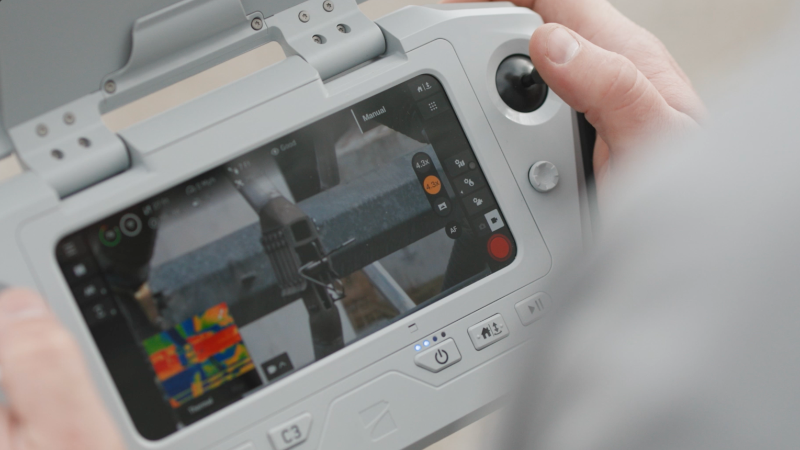
Put every detail within reach

Get a complete picture of any area or subject with best-in-class sensors and easy access to hard to reach vantage points enabling survey-grade accuracy.
Break new ground. And old limitations.

With its modular airframe and available attachments, including RTK/PPK GPS, Skydio X10 adapts to a diverse range of conditions while operating in areas that are typically off limits to mappers and surveyors on the ground.
Versatile mapping and surveying solutions anytime, anywhere
 Stockpile monitoring.
  Crash scenes.
  Transportation infrastructure.
  Urban planning.
  And more.
Seamless integration with the systems you know and trust


Works with the most popular GNSS correction sources and more using NTRIP Rev1


