
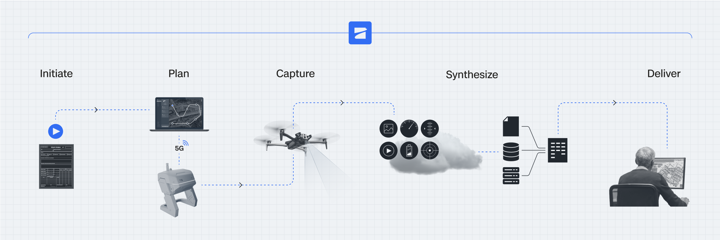
From flight initiation to insight, quickly transform captured data into action
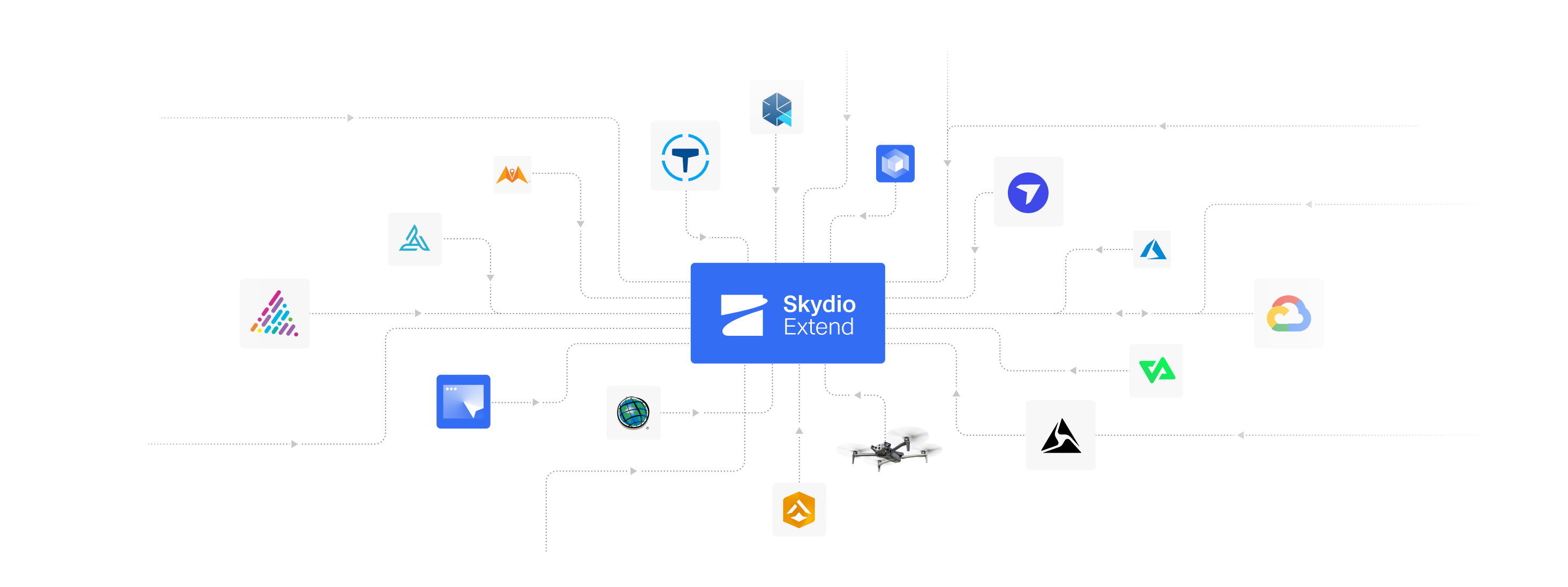
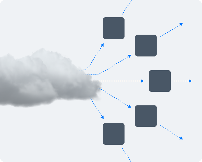
Skydio Extend easily integrates aerial data capture into existing workflows, spanning flight initiation, streaming to real-time AI analysis, and directing media to the applications used to share, analyze, or store data. Explore our integration catalog, developer tools, or connect with an expert.

Make better decisions, faster with data-driven workflows.

Scale your drone operations efficiently by automating manual tasks.

Streamline collaboration with internal and external partners via integrations.

Say goodbye to time-consuming tasks, and hello to automation
Explore our catalog of integrations, featuring Skydio pre-built integrations that can be activated with a flip of a switch and partner built integrations that work from day one.
Plus, you can use our APIs, ICDs, and developer tools to build custom integrations and attachments with open standards and industry-compatible protocols.
Transform your drone program into an insight-generating powerhouse
Streamline workflows
Skydio Extend minimizes time-consuming manual work by automating data flows across your systems.
Route information securely
Permission-based data sharing across teams and functions enables access to the information they need most. Learn more.
Act on your data faster
Achieve faster time to insight on the data you collect to take action when it matters most.
Launch an aerial and data capture program fully integrated into your workflow
Choose the integration options that are right for you
Activate Skydio-built
integrations
Skydio offers pre-integrations to leading solutions that are easy to activate and configure. These pre-integrations are built and tested by Skydio to streamline data flow from Skydio Cloud to essential applications, including reality capture, real-time crime center solutions, evidence management systems, and more. Our list of supported integrations continues to grow, ensuring seamless connectivity for various operational needs.
Use partner-built
integrations
Hand-selected partners have developed integrations with Skydio to enhance various functions, including fleet management, photogrammetry, video streaming, real-time operations, construction, data transfers, automated triggers, and flight telemetry. These integrations expand Skydio’s capabilities, ensuring seamless workflow and improved operational efficiency.
Develop your own
integrations
If you need an even more customized integration(s), Skydio Extend lets you build your own. You’ll have access to our full suite of dev tools – including APIs, ICDs, documentation, and a development sandbox for experimentation.
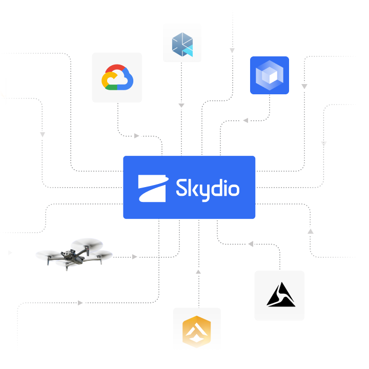
With Skydio Extend you can integrate into any type of system you work in.
 Cloud storage.
  Asset/case management.
  Data analysis.
  Fleet management.
 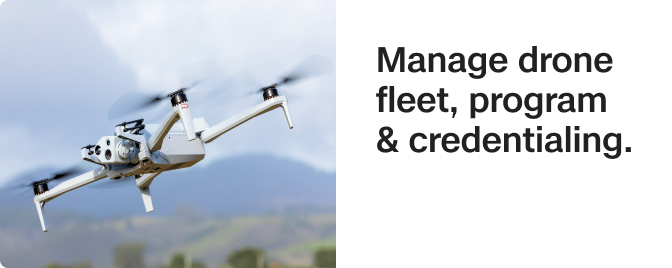 Photogrammetry.
 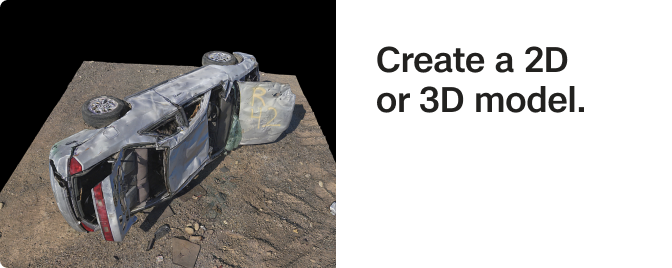 Command center system.
  Construction management.
Integrate, automate, and simplify your data sharing with Skydio Extend today
Take advantage of the largest catalog of Skydio and partner built integrations in the drone industry to make your data actionable from the moment it’s collected. Skydio Extend partners include...

Public Safety
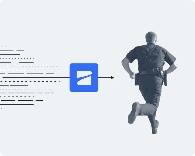
- Faster response times – CAD and 911 integration accelerates emergency dispatch.
- Enhanced officer safety – Device integration enables direct flights to officers for real-time support.
- Improved community safety – RTCC integration streamlines coordination for improved situational awareness.

Utilities
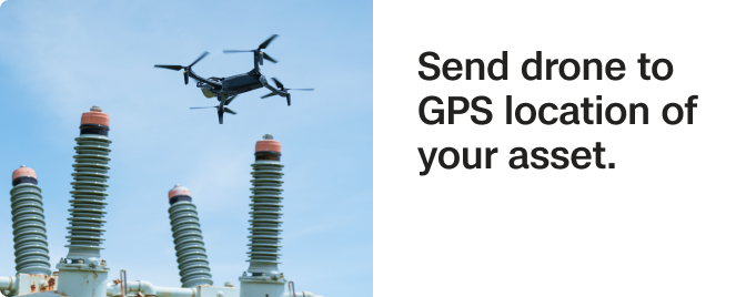
- Rapid insights – Convert flight media into actionable inspection reports with third-party analysis tools.
- Proactive asset monitoring – Ensure drone data transfers automatically so you have a complete picture of every asset.
- Emergency response – Respond swiftly to alerts, assess damage, and enhance resilience.

Defense
- Optimized response times – React instantly to perimeter sensors and security triggers.
- Mission success – Build a force-wide common operating picture that improves tactics on every mission.
- Expanded mission capability – Deploy new payloads to support diverse operation