


Infrastructure is the backbone of US economic activity, driving growth, connectivity, and commerce. Departments of Transportation (DOT) and Architecture, Engineering & Construction (AEC) firms across the country are tasked with a monumental responsibility: inspecting & maintaining the existing infrastructure, constructing new roads, bridges, and other essential facilities, responding to natural disasters, and supporting environmental initiatives. All these tasks must be carried out most efficiently, ensuring optimal use of taxpayer dollars. DOTs and AECs are uniquely positioned to leverage autonomous drones and remote operations to benefit every citizen in their community.

Bridge Inspection
The 2023 Federal Highway Administration (FHWA) National Bridge Inventory (NBI) report estimates that 1 in 3 bridges in the US need repair or replacement.1 DOTs need accurate information at the right time to make critical maintenance decisions and spend limited resources on the highest return to the public.
Routine maintenance of infrastructure, particularly bridges, is a resource-intensive task. Traditional inspections involve deploying teams of workers in potentially dangerous situations Inspectors using the Skydio X10 autonomous hand-launched drone equipped with advanced imaging technologies can complete these inspections up to 50% faster and require fewer human resources by:
- Simplifying the operator experience with Skydio Autonomy acting as the inspector's trusted copilot so they can focus on the details, not obstacles.
- Access dark environments under the deck or heavily shadowed areas with NightSense and leverage the LED flashlight in the VT300-L for low-light image capture.
- Utilize 3D and 2D mission planning onsite and let the drone autonomously fly to capture the inspection.
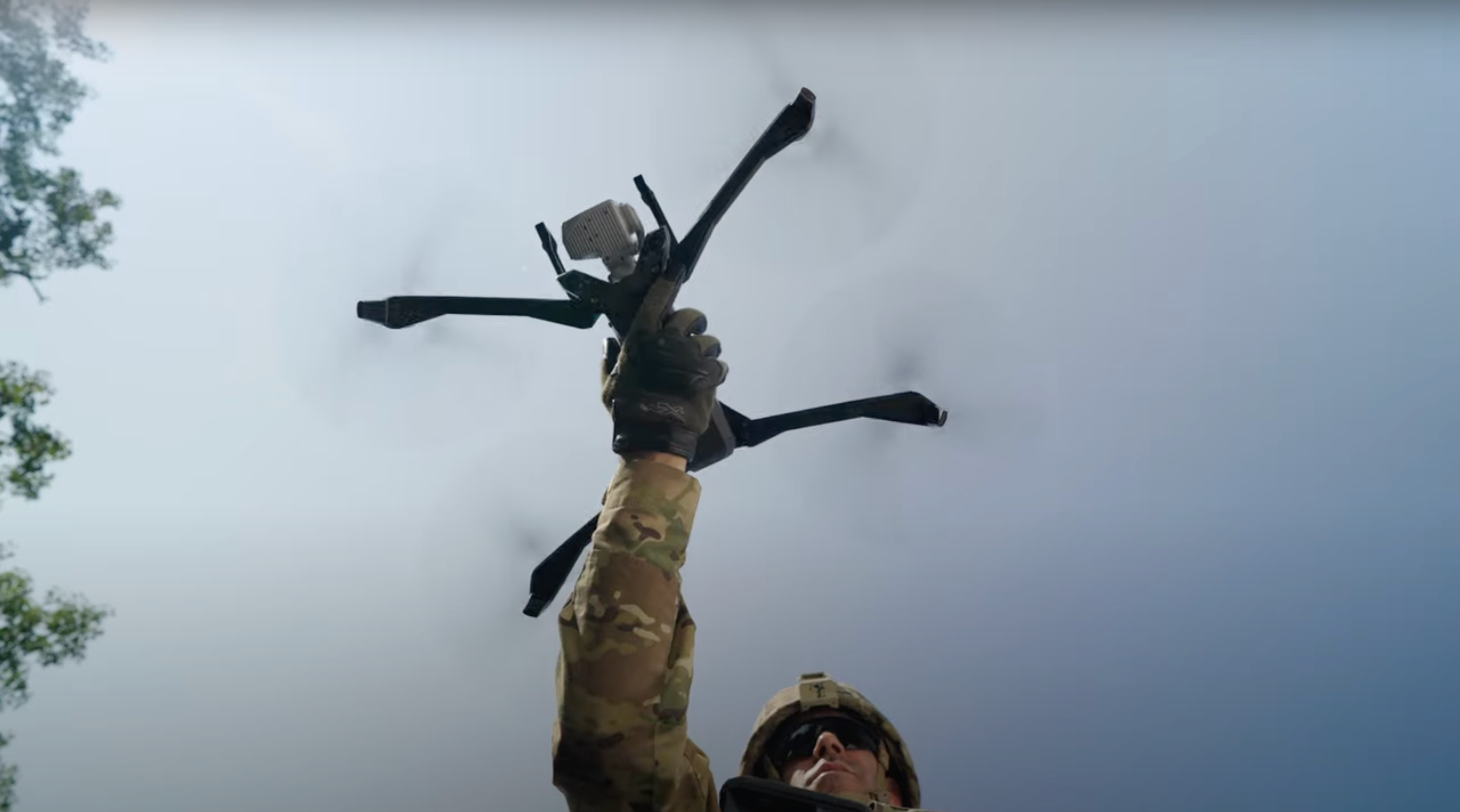
Most importantly, the Skydio X10 improves workforce safety by taking on risky tasks and keeps your team out of harm's way.
As a result of drone-based inspection, DOTs have a more consistent rating system for each bridge since each inspection is backed by high-quality visuals and accurate measurements down to submillimeter resolution levels. In addition to quality enhancements by speeding up the inspection cycles, DOTs are able to monitor the rate of change and focus on repairs on areas that are deteriorating faster.

Illuminate the underside of a structure and detect a 0.1mm crack in concrete with maximum fidelity

50MP 1” wide module for mapping and low light inspections
Digital Twins
Digital twins have quickly become the standard for infrastructure projects, these virtual replicas of physical structures help project owners in predictive analysis, maintenance planning, and disaster management. Using Skydio X10 to capture real-time data with versatile and highly precise EO and IR sensor packages significantly speeds up the creation of the digital twin, allowing for real-time analytics and more effective planning and management.
Instead of settling for low-quality datasets generated by 2D capture patterns, teams can now generate adaptive datasets that document any structure with consistent results, requiring minimal training for team members leveraging Skydio X10 drones. They can speed up the process of 3D modeling and support the development of digital twins.

Construction Site Monitoring
Project teams managing large infrastructure projects are tasked with keeping the project on time, on budget, and built with quality. Teams leveraging Skydio can use the X10 as a workforce multiplier to quickly assess multiple projects in a single day, thanks to backpack-sized portability, 40-minute flight time, and quick deployment – your Skydio X10 is ready for anything.
- Efficient allocation of resources - While nothing can completely replace human supervision, drones act as a force multiplier for ground staff. An X10 deployed in under 40 seconds can cover large swathes of a construction site multiple times a day in a fraction of the time it would take human inspectors to do the same. This efficiency means ground staff can focus on more complex tasks requiring human intuition and expertise.
- Verification of work - One of the vital aspects of construction is verifying whether the work complies with design specifications and quality standards. Skydio X10 equipped with either the VT300-L or VT300-Z high-resolution cameras and thermal imaging, can fly over construction sites, capturing intricate details. These aerial images support the inspectors on the ground with visual proof to verify that the work aligns with planned designs, complies with quality standards, and can cut down costly rework by 50%.
Accurate measurement of stockpiles - Managing and measuring stockpiles of materials such as gravel, sand, or soil has always been a challenging task; humans have error rates of up to 30%.2 Skydio X10 is changing the game here with advanced topographical mapping features; drones can quickly measure stockpiles with a high level of accuracy, saving both time and human resources.

Disaster Response and Environmental Responsibility
In the aftermath of natural calamities like hurricanes, floods, or wildfires, time is of the essence to assess the damage and track remediation efforts to ensure first responders can access locations and restore access for the community. Skydio X10 is ready for action in any situation - day or night, rain or shine, it can be deployed swiftly to get an aerial view of the affected regions, helping authorities to make quick, informed decisions on resource allocation. High-resolution imaging and thermal cameras from the VT300-Z sensor can pinpoint hazards like gas leaks, blocked roadways, damaged dams, or fire hotspots, making restoration operations safer and more efficient.
In addition, Skydio drones are increasingly trusted to monitor the environmental impact of infrastructure projects themselves. They can capture real-time data on factors such as soil erosion, water run-off and assess the condition of mitigation efforts, thereby helping to ensure that construction activities are in compliance with environmental regulations. For instance, the X10 can be used to monitor run-off from construction sites to safeguard against water pollution or to keep an eye on nesting birds in the vicinity, thereby ensuring their protection. This real-time environmental monitoring helps construction teams and policymakers to proactively manage the ecological footprint of their projects. They help ensure that as we build our physical infrastructure, we're also keenly aware of our impact on the natural world and are taking steps to minimize it.

Bottom Line: Skydio X10 is an Investment with Significant ROI
Skydio is revolutionizing infrastructure projects by enhancing the efficiency and effectiveness of construction site monitoring, drastically cutting down the time and resources needed for maintenance, and enabling advanced digital mapping and planning technologies like 3D modeling and digital twins. When considering these advantages in the context of being efficient stewards of taxpayer dollars, the return on investment (ROI) becomes exceedingly apparent.
- Reduce construction rework by up to 80%
- Cut the cost of bridge inspections by 50% with half of the resources
- Improve worker safety by reducing dangerous situations
“Are we being super effective or are we using the taxpayer money to be innovative enough that we’re not being inefficient? That is a critical thing. It’s our responsibility as stewards to say how are you spending my money?"
—Bob Brock, Director of Aviation
Integrating Skydio technology into infrastructure construction is an investment that promises significant ROI in the form of efficiency, safety, and quality. As stewards of public infrastructure and funds, embracing this technology is not just advisable; it's imperative.

Footnotes
(1) Source: Data is from the Federal Highway Administration (FHWA) National Bridge Inventory (NBI), downloaded on July 3, 2023. Note that specific conditions on bridges may have changed as a result of recent work or updated inspections.
(2) Source: National Institute for Occupational Safety and Health (NIOSH). "Improved Accuracy of Stockpile Volume Estimates Using Digital Photogrammetry."
A study from the National Institute for Occupational Safety and Health (NIOSH) revealed that manual stockpile volume calculations using the average-end-area formula can have errors ranging up to 30% in some cases. This discrepancy arises from approximations made during measurements, especially when stockpiles don't have simple geometrical shapes.

