


In 2008, I embarked on an incredible journey as a crime scene analyst with the Las Vegas Metropolitan Police Department. Over the next decade, I responded to more than 4,000 scenes and worked toward finding ways to improve our processes.
I can vividly remember working an officer-involved shooting in the parking lot of a casino on the Las Vegas Strip. There was a need for aerial photographs to depict vehicle locations and the air unit wasn’t an option given our proximity to the airport.
A request was made to the fire department for their ladder truck with the bucket. Strategically placing my camera equipment in a backpack, I made the long ascent up the narrow ladder to the bucket. Continuously squeezing past the firefighters aside me, I positioned myself in various spots within the bucket to take as many overlapping images as I could, fighting my camera and the available light for proper exposure. As with every crime scene, conditions weren’t ideal. But it doesn’t have to be this way. Technologies exist to help us be more productive, capture more comprehensive data, and clear a scene faster.
As much as I loved hanging out of the side of a helicopter (something I viewed as one of the few perks of the job) to take aerial photographs of a desert homicide scene or an officer-involved shooting, I could absolutely understand the impracticality. Helicopters are an expensive resource, and extra sets of aerial eyes that were taken away from the patrol officers responding to priority calls throughout the valley. I knew there had to be a better way.
Drones: Transforming Crime Scene Documentation and Analysis
In October 2017, Las Vegas was rocked with the country’s largest mass casualty shooting at the Route 91 Harvest Festival. While the department had purchased drones, they weren’t implemented at the time of the event and could not be used during the dynamic moments from the onset of shots fired to breaching the shooter’s room or in the following hours of distress calls up and down the Las Vegas Strip. However, the following day, drones were used to aid in crime scene documentation of more than 19 acres, to create 2D images and 3D models.
A few months later, on New Years’ Eve, the department deployed drones to monitor crowds for unusual activity, and provide more insights to patrol officers on the ground response.
For the past few years, I have been working in the 3D technologies space for public safety applications. As I worked with different law enforcement agencies globally, drones were becoming an increasingly hot topic. Curious, I dove into the details, especially in the world of drones for crime and crash scene documentation. Increasingly impressed with ease of use, results and accuracy, I began to use drone images to create 3D point clouds of various scenes and conduct forensic analysis.
Why Skydio?
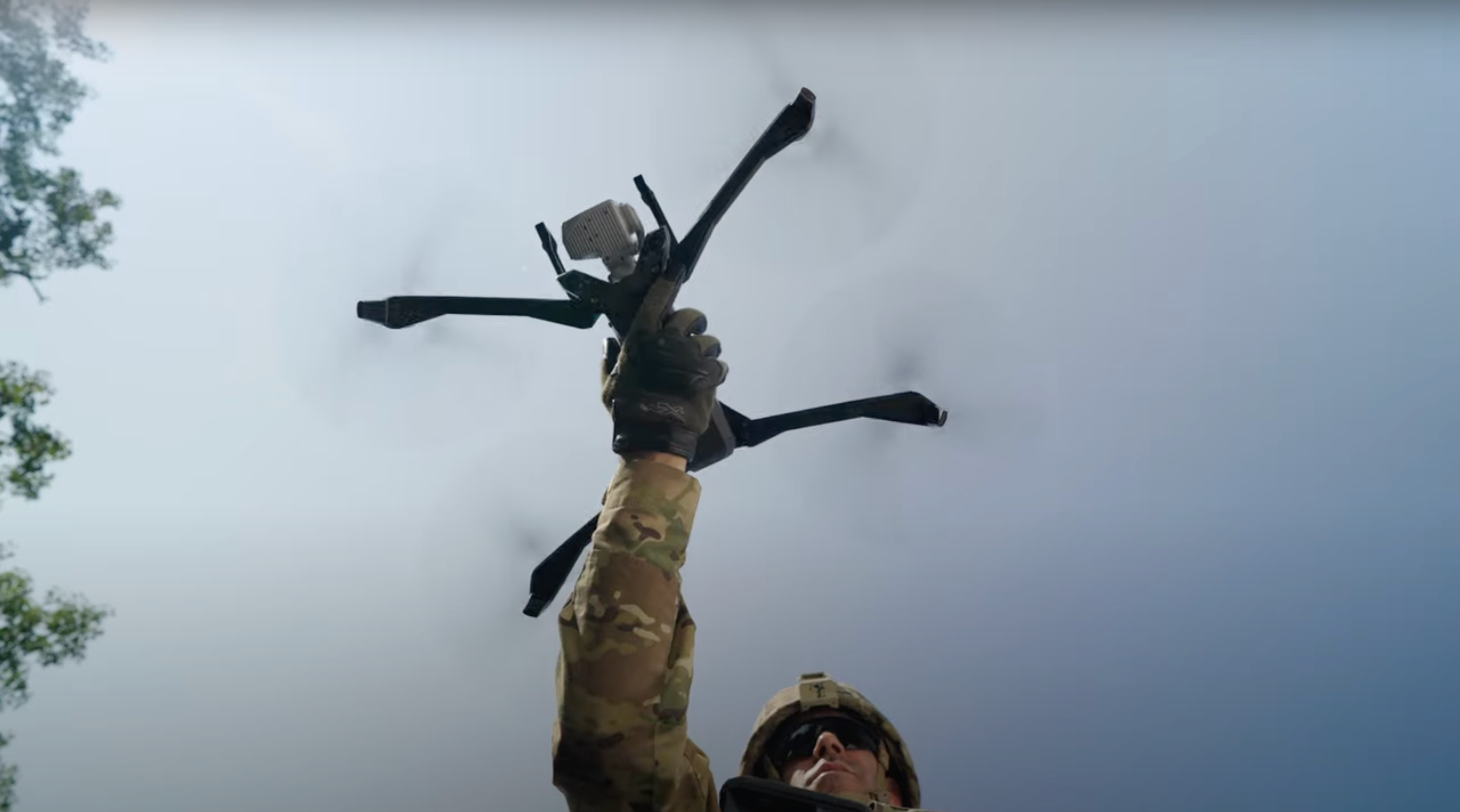
If there’s one comment that I heard frequently about Skydio while working in the field, it was in regard to obstacle-avoidance. Skydio Autonomy removes a lot of the uncertainty people have about successfully flying drones and provides confidence when deploying drones for additional situational awareness, de-escalation, searching or scene documentation.
Skydio 3D Scan is a game-changer for those who capture data with intent of creating 3D models. It takes all of the guesswork out of overlap, and angles, and number of photographs by automating the capture process and improving photogrammetry workflows. As someone who came from hand-measuring and meticulously hand-sketching scenes, to using terrestrial laser scanners, I am blown away by the ease of use in capturing photographs with Skydio drones.
I was fortunate enough to work for an agency that had a dedicated Air Unit. It is not lost on me that most agencies do not have the same resources and lack the advantage of receiving live tactical information from above. Skydio drones are changing that landscape.
Enhancing Law Enforcement Efficiency: The Rise of Patrol-Led Drone Deployment
In an era of law enforcement, where many agencies are operating at or near minimal staffing, Patrol-Led Deployment is a method of drone deployment where the drone is seen as a patrol resource that can be quickly deployed from the trunk of a responding vehicle without the need for specialized drone units. This method is becoming increasingly more necessary to improve situational awareness, response times, and safety, for officers and the communities they serve.
Drone as First Responder
Patrol-Led Deployment is the foundation for Drone as First Responder (DFR). DFR is a drone deployment method designed to enhance communications and response times by deploying drones to an incident, from pre-determined launch sites in a jurisdiction, upon receiving an emergency call and arriving on scenes before ground units.
Empowering Public Safety with User-Centric Drone Technology and Expertise
Skydio is composed of teams that truly understand the end user and their needs, across multiple industries. We are at the forefront of these technology advances, acting as an industry disruptor, by creating hardware and software that makes public safety more productive and safe.
With many friends and family in the public safety world, I see the impact that drone technology has on current workflows, and Skydio makes drones easy to deploy with minimal training required. As the Sr. Manager of Public Safety Marketing, I’m thrilled to be a part of the Skydio team!

