


Foundation of the Pompeii I.14 Project
One of the best-known archaeological sites in the world can be found in southern Italy in the town of Pompeii. Buried under volcanic ash after the catastrophic eruption of Mount Vesuvius in AD 79, Pompeii offers an unparalleled glimpse into ancient Roman life, preserving homes, artifacts, and even the people themselves in remarkable detail.
Skydio For All partnered with the Geospatial and Virtual Archaeology Laboratory and Studio (GVALS) at Indiana State University to use our technology to create digital twins of an insula (city block) within Pompeii, aiming to capture and preserve this incredible historical treasure for future generations.
Alex Elvis Badillo, Associate Professor of Earth and Environmental Systems at Indiana State University, is the founder and director of GVALS. He heads the digital data initiatives team of the Pompeii I.14 project and specializes in documenting archaeological landscapes, sites, and artifacts with the latest technologies.

The Pompeii I.14 Project is an international collaboration led by Tulane University and the Parco Archeologico di Pompei, including Oxford University and Indiana State University (ISU). The project combines stratigraphic excavation with innovative technologies to understand life on the margins of the Roman city.
Located just inside the Porta Nocera gate on the southeastern side of Pompeii, Region I Insula 14 may be the key to unlocking answers to the city's earliest history, development, economy, infrastructure, and its relationships with neighboring cities and settlements. The excavation focuses on the southern part of the insula, which was not fully cleared of volcanic material until the 1990s and has received little attention in the past 30 years.
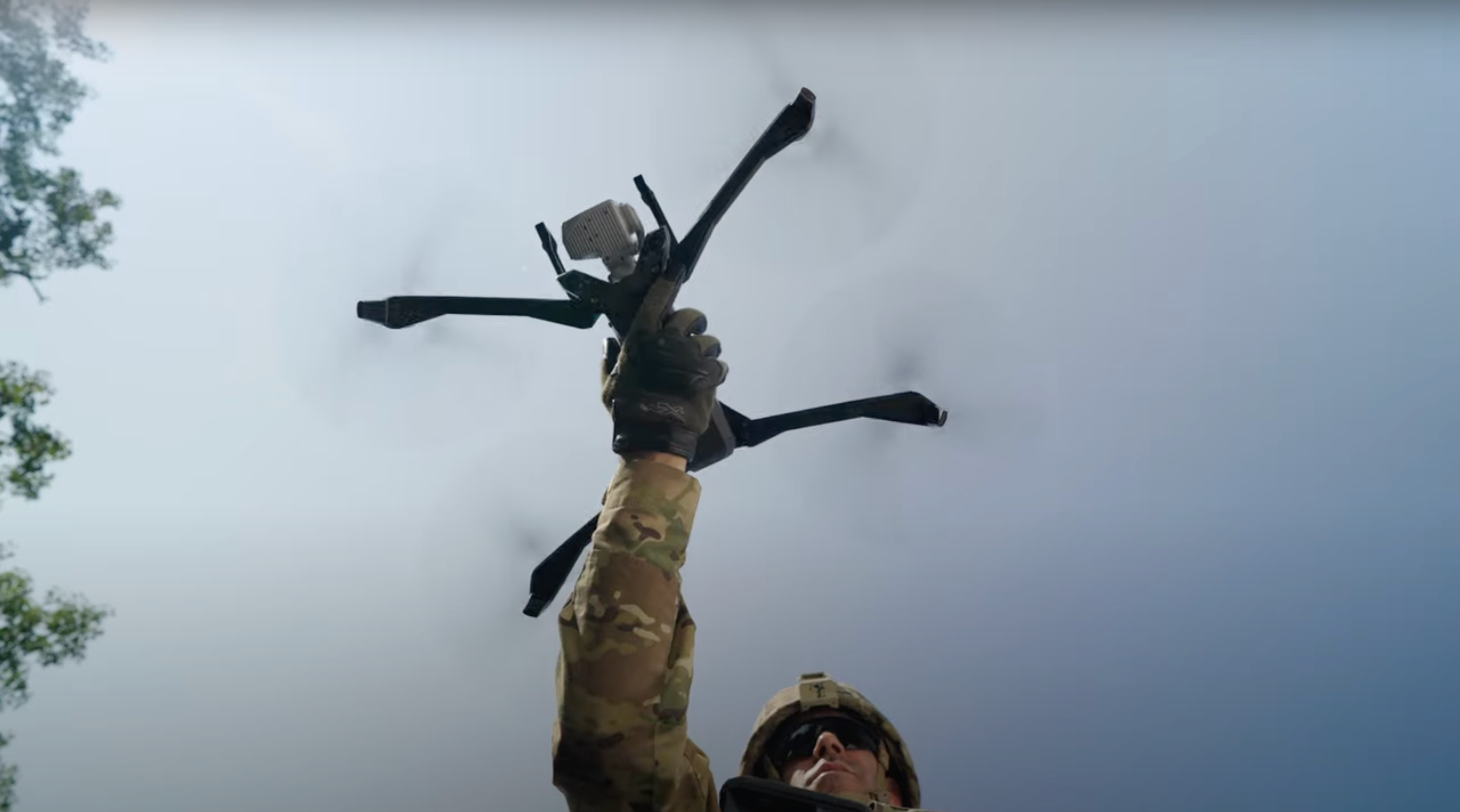
Using the advanced visual and radiometric capabilities of the Skydio X10 drone, we created detailed site models by capturing high-resolution imagery like the orthomosaics below that showcase the remarkable detail and accuracy of our data collection.

Exploring Pompeii Through the Lens of the Skydio X10
Pompeii I.14 Project Goals:
- Build a 3D model of the entire city block (insula) in Pompeii.
- Create several models of indoor spaces.
- Capture thermal imagery of frescos and cistern networks to detect any anomalies.
Our first day at the Pompeii site was brimming with excitement. This day was critical for orienting the team with the flight location and getting hands-on experience with the X10. We ran 3D scans outdoors and manually explored several rooms capturing electro-optical/infrared (EO/IR) imagery. The highlight was viewing the structures with the Skydio X10’s advanced thermal cameras. The FLIR Boson+ enabled us to see temperature differences that indicated a structure may lie just underground, without requiring any excavation.

With the Skydio and ISU team now trained, we planned to run surface captures of the insula, opting to move to a larger space that was well-suited to execute indoor captures.
Building on our previous learnings, we successfully ran two surface captures of the entire city block. One was a full-resolution 64MP capture and the other was at quarter resolution, preferable for mixed lighting scenes. Each scan consisted of ~1,000 photos taken from a 20-meter height. The sliding tool for the processed model was vital in comparing the ground with the true temperature values captured by the thermal camera.

We continued on to another indoor structure in the southwest corner of the city block. With a larger indoor space, we were able to run an indoor scan, then pivoted to using the data captured with the Skydio S2+ to reconstruct this space. Shown below is a GIF of the indoor reconstruction from a scan Professor Alex Elvis Badillo performed.

Next, we reviewed the outputs from our previous scans. Professor Badillo was pleased with the results from the low-resolution surface capture by the X10. However, we noted that due to a tightly planned scan, the reconstruction of the outer walls of the city block were not as accurate as we hoped. To address this, we ran a new low-resolution map capture with a greater buffer around the area of interest and more oblique angles. This scan exceeded our expectations, with the outer walls getting full coverage.
If you are interested in seeing the model of the insula, please visit the publicly available model.

Transforming Data Capture into 3D Models
We used the Skydio X10 drone to capture imagery and Agisoft Metashape Professional to build 3D models. The drone’s high-resolution camera captured detailed images based on parameters set by the pilot. Each photo was tagged and organized into photosets with their respective paradata documenting the mapping and 3D scanning missions. Agisoft Metashape Professional processed the data to reconstruct both standard and thermal 3D models, and produce high-resolution 2D mapping such as orthomosaics and digital surface models. The highly detailed final 3D models provided an accurate representation of the insula that offered a new perspective on the site, revealing details that are difficult to capture without such advanced technology.
Reflections and Acknowledgments
This project was an enlightening use case of Skydio technology, showcasing the potential of drones in archaeological research. The collaboration between Skydio and Indiana State University illustrated how technology and academia can work together to preserve cultural heritage. This successful partnership opens the door for future projects where advanced drone technology can further enhance the field of archaeology.
I would like to thank the Indiana State University team, especially Professor Alex Badillo, for their openness to using the latest technology to further their research goals. A big thank you to the team at Skydio for supporting this endeavor and demonstrating the power of the X10 drone.
Learn about more projects with Skydio For All.
For further inquiries or collaboration opportunities, please contact us at skydioforall@skydio.com or visit the Skydio For All website.

